
Merced ZIP Codes and Their Postal Places
The ZIP list below is a research starting point, not a legal boundary survey. Merced County's postal places include incorporated cities, unincorporated communities, rural routes, an institutional ZIP, and a PO-box ZIP. Verify a particular address in USPS and confirm the parcel's county and city jurisdiction with GIS before treating a ZIP code as geographic evidence.
| ZIP | Principal postal place or area | Post-office or service note | Boundary caution |
|---|---|---|---|
| 95301 | Atwater; Castle area | Delivery and PO services | City and unincorporated edges differ |
| 95303 | Ballico | Rural delivery or PO | Community ZIP, not an incorporated boundary |
| 95312 | Cressey | Rural delivery or PO | Small unincorporated service area |
| 95315 | Delhi | Delivery or PO | Northern county and community edge |
| 95317 | El Nido | Rural delivery or PO | Large rural-route geography |
| 95322 | Gustine | Delivery or PO | Western county; city and ZIP can differ |
| 95324 | Hilmar | Delivery or PO | Community and agricultural land |
| 95333 | Le Grand | Rural delivery or PO | Eastern and southeastern rural area |
| 95334 | Livingston | Delivery or PO | City plus agricultural land |
| 95340 | Merced | Primary city delivery | Central and east Merced plus rural fringe |
| 95341 | Merced | Southern Merced delivery | Not a downtown-only proxy |
| 95343 | Merced and UC Merced area | Institutional or unique postal use | Not a normal residential neighborhood roll |
| 95344 | Merced | PO-box service | Verify PO-box-only status for an address |
| 95348 | Merced | North and west city delivery | Newer development and fringe areas |
| 95365 | Planada | Delivery or PO | Unincorporated community and rural area |
| 95369 | Snelling | Rural delivery or PO | Northern and eastern rural geography |
| 95374 | Stevinson | Rural delivery or PO | Western rural community |
| 95388 | Winton | Delivery or PO | Unincorporated corridor around Atwater and Merced |
| 93620 | Dos Palos | Delivery or PO | Southwest county and rural routes |
| 93635 | Los Banos | Primary delivery | City plus broad westside rural service |
| 93661 | Santa Nella | Delivery or PO | Unincorporated I-5 community |
| 93665 | South Dos Palos | Delivery or PO | Unincorporated community area |
The research inventory notes that USPS does not publish a simple indexed county-to-all-ZIPs table. Validate station names, PO-box-only status, and edge cases in the USPS address ZIP lookup for the exact deliverable address.
Merced ZIP Groups Tell a Geography Story
Merced's 95340, 95341, and 95348 zones are all labeled Merced, yet their delivery areas do not translate into one city-limit shape. 95340 reaches central and eastern Merced and a rural fringe. 95341 serves southern Merced. 95348 covers north and west development and fringe areas. Treat the postal label as delivery guidance, then ask GIS which city, county, district, or parcel holds the address.
The westside uses 93635 for Los Banos and 93620 for Dos Palos, with Gustine at 95322 and rural community ZIPs around the agricultural corridor. Livingston is 95334, while Atwater and Castle use 95301. These labels help sort a historical directory or newspaper search, but they do not establish that a person lived inside an incorporated city.
Rural routes are especially easy to misread. Delhi, Hilmar, Ballico, Cressey, El Nido, Planada, Snelling, Stevinson, Winton, Santa Nella, and South Dos Palos can have a postal place, community identity, and county service path that differ. A county parcel and the Tax Collector search provide a better address anchor than a ZIP alone.
UC Merced and the Special ZIP Layer
95343 is associated with the UC Merced area and has an institutional or unique postal role in the research notes. It should not be treated as an ordinary residential neighborhood roll. 95344 is identified as a PO-box ZIP, so a postal box may not identify a physical parcel at all. Verify the specific deliverable address before combining a ZIP with a person, parcel, or institution.
UC Merced also adds a separate archive and public-institution layer. Its Regional Archives and digitized local-history collections can explain why a modern name or place appears in a university, agricultural, or community record without becoming a current resident directory. The ZIP is a useful index term, not a shortcut around the source's purpose.
- ZIP Code
- A USPS delivery construct used to route mail. It is not a county, neighborhood, or city-limit boundary.
- ZIP+4
- An added delivery segment that narrows a route or location. It does not turn a ZIP into a public people list.
- PO-box ZIP
- A postal zone used for boxes or special delivery arrangements. It may not map to a residence or parcel.
- Unique ZIP
- A zone tied to a particular institution or high-volume recipient rather than a normal mix of households.
- Carrier route
- A delivery path inside a ZIP. It is a postal operations concept, not a public resident roster.
Find Merced Records Within One ZIP
A ZIP code directory search narrows geography only after the address is verified. The official portals inspected for Merced do not provide a public ZIP-wide list of residents or parcels. Use a ZIP as a sorting clue, then resolve each address through a parcel, permit, directory, or custodian channel.
- Run the exact address through USPS and save the ZIP, ZIP+4 if returned, and postal city.
- Use county or city GIS to determine the parcel, APN, city limit, and service jurisdiction.
- Use the Tax Collector's street-address mode or a documented parcel key to reach assessment information.
- For an official interaction, search Accela or the relevant city department by address, parcel, record, or date.
- For past residents, move from the verified address to the library, museum, directory, census, and newspaper collections.
Accela may accept ZIP as an address refiner, but a result is a permit or application record, not a person list. My Voter Status has no ZIP search and is self-authenticated. The assessor's documented interface accepts parcel keys. A ZIP-wide owner export was not confirmed, so the careful route works address by address.
| Portal or source | ZIP-related use | What it cannot establish |
|---|---|---|
| USPS lookup | Verifies delivery ZIP for a particular address | County parcel, city limit, or resident identity |
| County or city GIS | Maps parcels and jurisdiction after an address is resolved | A ZIP-wide household list |
| Tax and assessment portals | Links an address to APN, owner, situs, and mailing clues | Every person living at a parcel |
| Accela or city records | Finds address-keyed permits and applications where available | Current occupancy or a complete neighborhood roll |
Verify the Merced ZIP With USPS
USPS address lookup is the right channel for the mailing question. Enter the deliverable address rather than relying on a remembered postal city. The USPS National Premier Accounts ZIP lookup is another official ZIP reference. A returned ZIP can then be compared with a county GIS parcel and a tax or assessment record. If the postal answer and the parcel jurisdiction differ, keep both labels. The mismatch may be normal for a rural community, fringe development, or a city and county boundary.
The Merced Museum historical exhibits page provides the local-history source shown below. USPS remains the verification point for a particular delivery address.
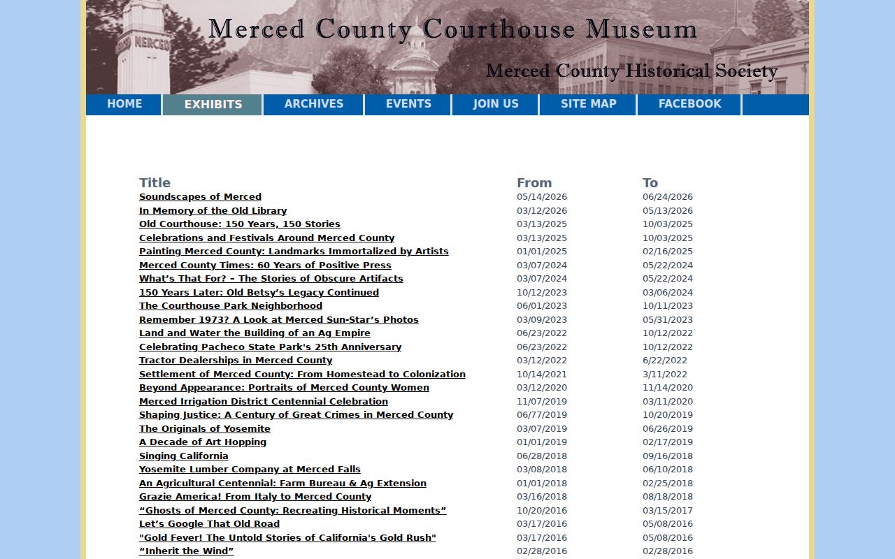
The museum image adds local context to a ZIP code directory search, but it should still be paired with parcel and jurisdiction sources before a ZIP is used as geographic evidence.
Do not infer a current household from a postal result. USPS routes mail; it does not disclose customers. PO boxes and rural routes make that distinction even more important.
Merced ZIP Records Keep Three Keys
Postal research is clearer when three identifiers are kept side by side. The USPS address and ZIP answer where mail is routed. The APN or fee parcel answers which tax unit is mapped. The legal description answers what land the title instrument describes. A mailing address may change while the parcel and title remain continuous, and a parcel may split while a familiar postal label remains.
Write the source and date beside each key. Use the USPS result for a delivery question, GIS and the tax portal for a parcel question, and Recorder records for title. A directory, newspaper, or court filing may use yet another form. Preserving the original wording makes it possible to explain a mismatch instead of silently joining two different locations.
- Postal address
- The delivery label returned by USPS, including postal city and ZIP.
- APN or fee parcel
- The assessor or tax key that connects a mapped parcel to property records.
- Legal description
- The formal land description used in deeds, plats, surveys, and title records.
ZIP Boundaries and Merced City Limits Differ
Annexation can change city services without changing a ZIP. A subdivision or E911 correction can change a street number while the title chain continues under the same APN or legal description. County-edge addresses can use a postal place from another county or a regional delivery name. The research did not locate a consolidated official Merced street-renumbering or ZIP-realignment chronology, so a clean story about a boundary change should not be invented.
When the labels conflict, compare a dated assessor map, recorded subdivision map, GIS layer, deed legal description, directory street guide, planning file, and USPS result. The Merced by-address directory handles the parcel chain after the ZIP has done its narrower delivery role. A ZIP code directory should preserve the mismatch instead of smoothing it away.
That comparison also protects historical work. A newspaper may use a postal city, a deed may use a legal description, and a directory may shorten a street name. Keep the source date beside each label. If the parcel remains the same while the mailing form changes, the difference belongs in the timeline rather than being treated as a new resident or a new county.
Boundary check. Postal city, ZIP, city-limit jurisdiction, school or water district, and county records office can all differ for one Merced address. Verify the question's boundary before choosing a custodian.
Local history helps explain how communities and place names persist across changing service maps, but a museum exhibit is not a ZIP-wide resident index.
What the Merced ZIP Code Directory Cannot Show
A ZIP does not reveal every resident, owner, occupant, voter, utility customer, or delivery recipient. The assessor does not offer a documented ZIP-wide owner search. The voter service authenticates one person. The recorder searches documents by party or record details rather than postal neighborhood. A ZIP-filtered permit result shows a government application, not a household.
Use ZIP granularity for address verification, county-edge research, postal sorting, historical newspaper searches, and a first pass at a regional question. Move to the parcel or legal description for land, the clerk or court for a case, the library and museum for past households, and the proper state program for a protected or vital record. The source's access channel is part of the result.
Lawful personal use. ZIP and address records are for legitimate personal, family-history, civic, and property research. Never use a ZIP code directory to stalk, harass, intimidate, or harm anyone.