
What Merced Neighbor Records Actually Show
The lead question is scope. “Neighbors” can mean parcels sharing a boundary, houses across a street, an address segment, a civic district, or people listed in an older address sequence. The table keeps those meanings separate and makes a block lookup useful without promising a public household roster.
| Source | What it shows about a block | Access |
|---|---|---|
| GIS parcel mosaic | Adjacent shapes, APNs, roads, and available thematic layers | County GIS or MercedGEO viewer |
| Assessment and tax roll | Owner of record, situs, mailing address, and parcel characteristics | Tax address search, parcel inquiry, or office |
| Recorded maps and plats | Lot, block, subdivision name, easements, and layout | Surveyor file share or Recorder |
| Permit and planning search | Project address, applicant, scope, dates, status, and inspections | Limited Accela or city/county request |
| Voter file | Qualifying voter data for an approved statutory purpose | Restricted application; My Voter Status is self-only |
| Reverse directory | Listed occupants in an address sequence for a publication year | Library, museum, State Library, or NARA |
| Community channel | Public officers, meeting contact, or civic jurisdiction when intentionally published | Organization or public agency; no verified countywide member roster |
Owners are not automatically occupants, a tax mailing address is not a home, and a public officer list is not a private membership list. Each result needs its source label and date.
Click Merced Neighbor Parcels Around One Address
MercedGEO documents address, APN, and common-location searches, while county GIS supplies a wider county map context. Start with the subject parcel, select it, copy the APN, and keep parcel boundaries and labels visible. Then click each adjoining polygon and follow that APN to the official assessment or tax record. A radius or buffer function was not verified, so manual adjacent clicking is the conservative method.
Define “block” before you count anything. A shared boundary is narrower than the lots across a street. A whole street segment belongs to the by-address workflow. A civic block can include a school, park, alley, or public parcel that does not have a household owner. Record the inclusion rule beside the map.
- Locate the subject address in County Online GIS Information or the MercedGEO citizens mapping application.
- Select the subject parcel and save its APN, situs, legal description, and visible jurisdiction layers.
- Keep parcel boundaries on, then select each adjacent parcel and note its APN separately.
- Use the tax or assessment path for ownership and mailing clues, without calling either one a household list.
- Use recorded maps, permits, directories, or a public-record request only when the question needs another layer.
For a named street's full parcel chain, shift to the Merced by-street workflow. This Merced neighbors lookup owns the immediate block and the community layer around one starting point.
Define a Merced Neighbor Block
Recorded subdivision plats, parcel maps, and Surveyor records can define the physical block better than a postal label. Merced County Surveyor materials include Corner Records, Government Townships, Miller & Lux Records, unrecorded surveys, and recorded maps. Rural properties may use township and range, a section, a ranch description, or a legal survey rather than a clean street grid.
City limits and service districts can cross a postal place. A Merced mailing address may sit near a county or city edge, and Atwater, Livingston, Los Banos, Gustine, and rural communities have distinct municipal or county paths. Use GIS layers for city limits, zoning, flood, school, fire, water, or district context where offered. A thematic layer identifies geography, not private neighbors.
- Adjacent parcel
- A lot sharing a boundary with the subject parcel. Across-the-street lots need a separate inclusion rule.
- APN
- The assessor's parcel key. It joins the map to assessment and tax records but does not identify a household.
- Plat
- A recorded map that names lots, blocks, roads, and subdivision relationships.
- Buffer or radius
- A distance-based map concept. No official Merced radius tool was verified in the inspected sources, so do not claim one is available.
Merced Neighbor Permits Across a Block
County Accela Citizen Access covers Building, Planning, Enforcement, Licenses, and Public Works modules for county programs and unincorporated work. Search fields can include record number, project name or description, street number and name, city, state, ZIP, parcel, applicant or contact, date range, and record type. Anonymous users have limited viewing; registration is required for all services. Incorporated-city permits may belong to the local department.
A permit result can show record number, type, status, opened or issued dates, address, parcel, project description, workflow, inspections, and related records. It can show that a project touched a block. It cannot establish that an applicant lived there, that the owner performed the work, or that every person nearby is connected to the project.
When the portal is incomplete, identify the department, address, parcel, project number, and date range in a California Public Records Act request. The ten-day CPRA rule is for a disclosability determination, with a possible 14-day unusual-circumstances extension, not guaranteed production in ten days.
Find Historical Merced Neighbors in Reverse Directories
Historical reverse or criss-cross directories put an address before a name. NARA verifies Merced-Madera years in 1914, 1917, 1920, 1922, 1926 through 1931, and 1935. The Courthouse Museum lists earlier business directories and Polk Merced and Merced-Atwater years through 1989 in selected holdings. The library and State Library catalogs add telephone and city-directory leads.
Use the street section to list the address sequence, then use the alphabetical section to follow a likely occupant. Pair the directory with the 1920 or 1930 census, a deed, a newspaper, or an obituary. A missing name can reflect rural coverage, subscription, a spouse listing, two-surname indexing, mobility, or a household convention. Historical neighbors are a dated snapshot, not a current block list.
The Merced city directory collection page explains the shelves and entry conventions; the neighborhood question here is narrower, focusing on the addresses around one place.
Merced Neighbor Voter Data Has Limits
California My Voter Status authenticates one user with first name, last name, birth date, and a driver's license or ID number or last four Social Security digits. It is not a browseable Merced block roll. Voter-file disclosure under Elections Code sections 2180 through 2194 is limited to approved political, electoral, scholarly, journalistic, and governmental purposes, with security conditions and a ban on commercial use.
Residence, mailing address, party preference, status, registration date, precinct and district data, and participation history are handled under voter rules. Participation means a ballot was cast, not how it was marked. Safe at Home participants can use confidential voter registration. Inactive status does not prove that a person left the last recorded location.
Interest detail. My Voter Status is a useful reminder that “public record” does not mean anonymous street browsing. Authentication and purpose limits are part of the source.
Merced Neighbor Community Channels
Official sources did not yield a countywide neighborhood-association member directory. That absence is useful. HOAs are private corporations, and membership lists are not presumptively public. Secretary of State filings may identify an entity or agent address, while recorded CC&Rs can identify a subdivision without naming every member. A city council district, school district, fire or water district, or public GIS layer can identify civic geography without identifying neighbors.
| Community channel | Public route | What it does not provide |
|---|---|---|
| HOA or subdivision | Recorded CC&Rs, Secretary of State entity filing, or the association's published contact | A public member roster by address |
| Block Watch or safety group | Public map, meeting notice, or intentionally published coordinator | Private participant or household list |
| Congregation, veteran, fraternal, or union group | Public officers, newsletter, history, or archive-donated material | Private membership and contact details |
| Civic district | County or city GIS layers and public agency information | Names of people living in the district |
Use a published contact channel when reconnecting with a group. Do not infer membership from a parcel, occupation, surname, congregation, or nearby address. The responsible organization decides what it intentionally publishes.
Privacy Tools Affect Merced Neighbor Results
California's Safe at Home program supplies a substitute mailing address and mail forwarding for eligible survivors, victims, and certain workers. It supports confidential voter registration and does not accept direct applications from everyone; an enrolling agency helps with participation. A protected address may therefore be absent from an ordinary block search.
The California Safe at Home program is the source shown below.
The official Safe at Home image links to the confidentiality program that explains why an address may be shielded. Do not try to reverse that protection through another record.
The California Consumer Privacy Act and California Privacy Rights Act provide qualifying rights to know, delete, correct, limit certain sensitive-data uses, and opt out of sale or sharing, subject to exemptions. Government-record information may be exempt, so deleting a broker record does not delete a deed or tax roll.
The California Attorney General privacy-rights page is the source shown below.
The Attorney General's privacy page is the source for the state-rights context, not a tool for obtaining a neighbor's private data.
Merced Official Rolls Versus Neighbor Tools
Official sources carry a defined role and custodian. Commercial people-finder tools may combine old directory snippets, public-record extracts, and unknown data sources. Convenience does not turn a merged name-and-address result into a verified neighbor. Compare the categories before using any result.
| Source category | Strength | Weakness |
|---|---|---|
| GIS and parcel map | Defines adjacent land and APNs | Does not identify occupants |
| Assessor or tax roll | Identifies owner-of-record and tax mailing | Mailing is not occupancy; other household members are absent |
| Permit file | Shows a project and government interaction | Applicant is not automatically a neighbor |
| Historical directory | Places listed occupants in a dated address sequence | Selective, old, and incomplete |
| Commercial people-finder category | May gather many lead types in one interface | Stale, merged, costly, and not custodian-certified |
The Attorney General's DROP announcement is the source shown below.
The 2026 DROP announcement shows a lawful privacy response for data-broker records. It does not alter official Merced parcel, court, voter, or vital records.
Merced Neighbor Blocks Change Over Time
A block can look different in a tax roll, permit file, directory, and census because each source has a different date and purpose. Annual directories may miss a rural or mobile household. A decennial census records a household on one date. A deed records a transfer, while a permit records work. Use the date as part of every neighbor result.
When an address or owner changes, compare the APN, plat, legal description, map, street spelling, and newspaper context. A civic layer can show a new district or service boundary without showing a new household. A parcel can split or merge. The safest block history preserves the old and new identifiers together.
The California consumer complaint route is the source shown below.
The Attorney General complaint route is a public response channel when a data business mishandles a privacy request. It is separate from correcting a county record with its custodian.
The federal identity-theft reporting resource is the source shown below.
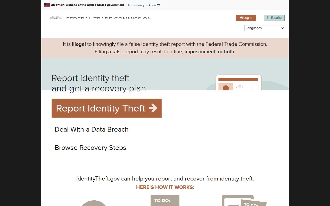
The federal identity-theft resource is for a person who believes information was misused, not for expanding a neighbor lookup.
Where a Merced Neighbor Search Stops
Property rolls omit many people connected to a parcel. Voter access is purpose-restricted. Utilities, DMV records, delivery customers, protected addresses, juvenile material, sealed cases, and private community rosters are not casual public search fields. A commercial result cannot lawfully fill every closed space or override a custodian's correction.
Use a Merced neighbors lookup to understand parcel geography, a public project, a civic district, an old address sequence, or a published organization contact. If the question shifts to one person, use the identity workflow. If it expands to the entire named street, use the by-street page. A narrow question is easier to verify and less likely to expose someone who has a legal reason to remain private.
Lawful personal use. Merced neighbors research is for getting oriented to a block, family history, civic curiosity, and personal safety awareness. Never use it to stalk, harass, intimidate, or harm anyone.
Note: No official umbrella neighborhood-association directory was verified, so the reference does not invent one or imply that private members can be searched.