
Walk a Merced Street Record by Record
A useful street directory search begins with one known address, not a broad name query. Merced County combines city grids, subdivisions, rural roads, unincorporated communities, and parcels identified by township and range. Normalize the address before comparing results. Keep the ZIP used by USPS, the physical situs shown by the assessor, the APN or fee parcel, and the legal description in separate fields.
The chain below moves from the present parcel toward ownership, permits, and older occupancy. It distinguishes what the record was created to show from what a researcher may cautiously infer.
- Run the address through the Merced Tax Collector search and save the fee parcel, physical-address location, lien-date owner, and mailing block.
- Enter that parcel in Assessment Inquiry, then locate the same parcel in County Online GIS or MercedGEO.
- Inspect adjacent parcels and the map layers that define the jurisdiction, subdivision, roads, and recorded map context.
- Search the RecorderWorks grantor and grantee index for the current owner, then verify the APN or legal description in each deed link.
- Use Accela or a city department for permits, and use reverse directories, census schedules, and the library for past occupants.
This is the lead workflow for a Merced street directory because the address remains constant longer than many names. The county tax search is the practical first door when an address is all that is known. The county Online Services page helps identify the related parcel and assessment tools.
The USPS address ZIP lookup is the source shown below.
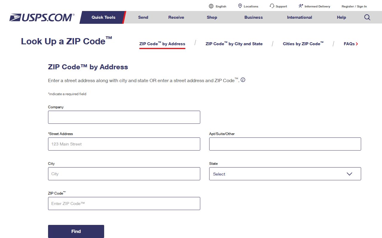
The USPS address lookup image shows the postal-format check that belongs before a street is compared with parcel or title records.
Merced Property Records Start With Tax
Merced Assessment Inquiry deliberately accepts Assessment Number or Fee Parcel Number, not a public owner or address search. That limitation makes the separate Tax Collector interface important. Its documented street-address route can turn a situs into a parcel key. Address instructions advise shortening Street, Road, Drive, or Lane and using N, E, S, or W when a literal entry produces no result. Search terms are documented as six to twenty characters.
| Field or control | Merced use |
|---|---|
| Search By | Choose the tax portal's street-address mode when beginning with a physical location; the assessor accepts Assessment or Fee Parcel. |
| Search Term | Try the house number, directional, and street name in the format the county documents. Do not assume a long suffix is required. |
| Roll Year | Choose a current or historical roll where offered. A prior roll is an earlier tax snapshot. |
| Assessment number | Carry this value to Assessment Inquiry when a result supplies it. |
| Fee parcel number | Use the parcel key for assessment details, maps, characteristics, exemptions, and later cross-checking. |
| Mailing block | Read it apart from the physical-address location. Tax correspondence is not occupancy proof. |
The Merced Assessment Inquiry can then show assessment information tied to that parcel. Keep the owner of record, lien-date owner, situs, mailing address, and assessment value in separate notes. A mailing mismatch can point to a trust, agent, post-office box, or absentee owner. It does not identify other occupants, visitors, or every person in a household.
The Merced Tax Collector search is the source shown below.
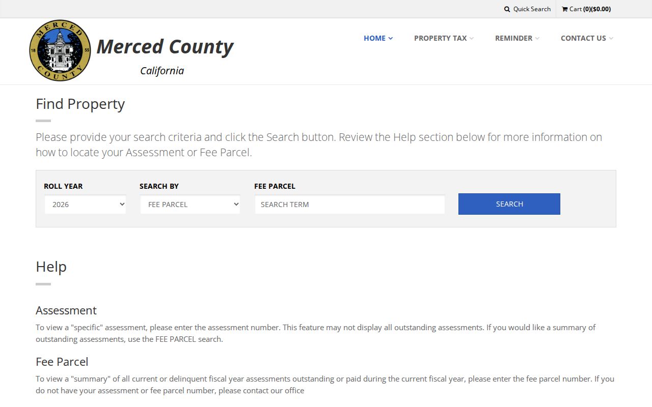
The linked tax-search image shows the address route that supplies the parcel key for the next stages of a Merced street directory lookup.
Browse Merced Street Parcels in GIS
County Online GIS Information and the City of Merced MercedGEO viewer add the spatial step. Search or locate an address, select the parcel polygon, copy the APN, and turn on parcel boundaries and labels. Roads, aerial imagery, city limits, zoning, flood, and district layers may provide context where the live viewer offers them. MercedGEO documents address, APN, and common-location searches, which is useful when a street spelling has changed or a city boundary is unclear.
Click neighboring polygons one at a time. The GIS map is a parcel mosaic, not a title opinion and not a household directory. It can show geometry, adjacent APNs, a subdivision, or a record-map connection. Follow each APN to its official property record if the question concerns an owner. Use the MercedGEO citizens mapping application for city-side address and parcel context, and the county GIS page for county coverage.
- Plat
- A recorded map that lays out lots, blocks, streets, easements, or a subdivision. It can bridge an older legal description and a newer address.
- APN
- An assessor parcel number used to join tax, map, assessment, and permit records. It is not a person identifier.
- Identify tool
- A map action that returns attributes for the selected polygon. The returned owner or address still needs custodian verification.
- Township and range
- A rural land reference. Merced County Surveyor instructions accept a township and range, with section optional, for survey records.
Note: A GIS selection locates land. It does not show utility customers, other occupants, or protected voter addresses.
The Merced Assessment Inquiry is the parcel source shown below.
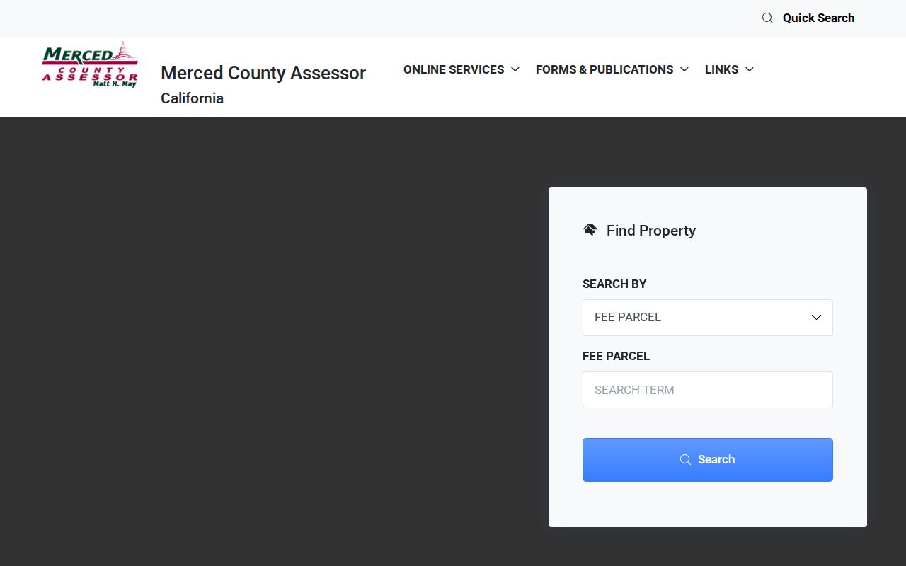
The assessment interface image makes the local limitation visible: a parcel key is required before assessment details can be retrieved.
Address Records in the Merced Street Directory
Several record sets can be walked along a street, but each answers a different question. The coverage table is more reliable than calling every result a resident listing.
| Record set | Keeper | What it shows | Access |
|---|---|---|---|
| Assessment and tax roll | Assessor / Tax Collector | Owner of record, APN, situs, tax mailing, value, and characteristics | Address-to-parcel search, parcel lookup, office |
| GIS parcel map | County or city GIS | Boundaries, adjacent APNs, roads, and available layers | County GIS or MercedGEO viewer |
| Recorded deed or lien | Recorder Division | Grantor, grantee, document date, document number, and legal description | RecorderWorks from 1963; counter and books before it |
| Permit or code file | Accela or city department | Project address, parcel, applicant, scope, status, and inspections | Limited anonymous search, account, or public-record request |
| Reverse directory | Library or archive | Listed occupant and phone or address snapshot for a publication year | Local rooms, State Library, or NARA |
| Census schedule | NARA and partner repositories | Enumerated household on a census date | Public schedules through 1950 under the 72-year rule |
The parcel number links the tax record to maps, permits, and deeds. A street name connects those sources to a directory or census only when the historical spelling and jurisdiction agree. For the full named-street chain, the current-record path belongs here; an address across decades needs a separate historical trail.
Permits Give a Merced Address a Timeline
For unincorporated county work, Accela Citizen Access exposes Home, Building, Planning, Enforcement, Licenses, and Public Works modules. Search controls can include record number, project name or description, street number and name, city, state, ZIP, parcel number, applicant or contact, date range, and record type. Anonymous users see limited information, while registration is required for all services. City permits belong to the relevant city department when the address sits inside an incorporated city.
A result may provide record number, type, status, opened or issued date, project address, parcel, description, workflow, inspections, and related records. That is evidence of a government interaction with a project. It does not prove the applicant lived at the address or that the work was performed by the owner. A city clerk or county department can be asked for an identifiable file under the California Public Records Act when a portal result is incomplete.
Merced County has six incorporated cities and many unincorporated communities. Establish the jurisdiction before a permit search. An address that uses a Merced postal city may still be outside city limits, while an Atwater, Livingston, or Los Banos address may be subject to a local system rather than county Accela. The ZIP can guide delivery, but GIS and the parcel define the service path.
Turn a Merced Street APN Into Deeds
RecorderWorks is the online grantor and grantee index for Merced County official records from 1963 forward. Its modes include Name, Document Number, Document Type, Map, Recording Date, Book and Page, Options, and index-book or fiche retrieval. In a name search, use LAST FIRST, a partial name, or a business name, and add a date range when a common name creates too many results. Document types include deeds, trust deeds, releases, liens, notices, probate, maps, permits, marriage certificates, judgments, powers of attorney, and UCC filings.
Start with the current owner and search that person as grantee for the acquisition deed. Record the grantor, date, document number, APN, and legal description. Search the grantor earlier as grantee. Repeat until the online period ends, then continue with pre-1963 indexes, bound books, or microfilm at the Recorder counter. The index supplies finding information; images and copies may carry fees, while office kiosks permit free viewing.
Names alone create false joins. Confirm APN, lot and block, subdivision, or the legal description at every step. Older deeds may not contain a modern street address, so the legal description is the continuity key. The county's recording requirements also point to a return-to address, requested-by party, transfer details, and APN, but a return address is a mailing clue rather than proof of the grantee's home.
Note: The Recorder's 1963 online cutoff is not a statement that Merced's earlier land records were destroyed; it means the earlier search moves offline.
Rural Merced Streets Need Survey Records
Rural routes, highways, township parcels, and agricultural communities do not always fit an urban street directory. The Merced County Surveyor preserves Corner Records, Government Townships, Miller & Lux Records, unrecorded surveys, and recorded maps. Its web-map instructions accept a township and range, with section optional, then expose a Survey Index Maps download as a ZIP or PDF set. The Surveyor office is at 345 W. 7th Street, with phone (209) 385-7601 and hours Monday through Friday from 8 a.m. to noon and 1 to 5.
Use those records when a street address is unstable or absent. Preserve the modern USPS address, APN, subdivision or lot-block language, and township-range reference together. Miller & Lux material is an unusually local clue for land once tied to a large Central Valley enterprise, but it still needs to be reconciled with the current parcel and Recorder index.
Merced's geography also crosses postal, municipal, school, water, fire, and county lines. A street record can therefore show the correct parcel while a city permit, school district, or postal place points to a different office. Verify the jurisdiction before treating a search failure as a missing record.
Merced Street Criss-Cross Pages
Alphabetical directories start with a name. A criss-cross or reverse section starts with a street and address, then lists the occupant, telephone, or business attached to that publication-year entry. This is the historical part of a Merced street directory. The Courthouse Museum, Merced Main Library, California State Library, and NARA each hold different runs. NARA verifies Merced-Madera editions in 1914, 1917, 1920, 1922, 1926 through 1931, and 1935; the museum lists later Polk volumes and older business directories.
Use the street section to find neighbors around a historical address, then flip back to the alphabetical section to follow the person. Pair a 1920 directory with the 1920 census and the 1926 to 1931 run with the 1930 census. An absence may reflect rural coverage, a subscription choice, a boarder, a woman listed under a spouse, a language or spelling variant, or a move. The Merced city directory collections page covers the shelf and year runs in full.
Merced Voter Data Is Not a Street Roll
My Voter Status authenticates one person's own record through name, birth date, and an identity number. It cannot browse everyone on a Merced street. California Elections Code sections 2180 through 2194 restrict voter-file access to approved political, electoral, scholarly, journalistic, or governmental purposes and prohibit commercial use. Protected voters may register confidentially through Safe at Home. A missing public result is therefore not evidence that a household is absent.
For a lawful personal question about an individual's own registration, use the Secretary of State service or contact the elections office. For historical registration, ask the Registrar, State Archives, county museum, or library whether a relevant register is available. Do not treat participation history as a ballot choice, and do not turn a restricted file into a neighborhood list.
Lawful use. Merced address and parcel research is appropriate for family history, civic research, property curiosity, and personal safety awareness. Never use a street directory to stalk, harass, intimidate, or harm anyone.
The Merced Street Record's Blind Spots
No official street directory lists every household. Property rolls omit other occupants and household members. Utilities and DMV addresses are confidential. Voter data is purpose-restricted. Reverse directories are selective snapshots. A tax mailing address may be an agent, trust, or post-office box. A permit applicant may be a contractor. An owner of record may not occupy the parcel.
When the question shifts from a street to one person, use the Merced resident search workflow and keep the identity match tied to dates, roles, and independent sources. When the question is the block immediately around one address, use the neighbor page's manual adjacent-parcel method. The whole street belongs to this by-address trail; the immediate block and community layer require a narrower definition.
Note: No verified countywide street-renumbering chronology was located; bridge a changed address with dated maps, deeds, directories, and the APN.